Description
Embark on an 8.6 km circular trail that takes you through stunning forest landscapes and reveals the hidden history of the Somosierra Front. Explore the remnants of trenches, bunkers, and other military fortifications, and learn about the fierce battles that took place here during the Spanish Civil War. Learn about the strategic importance of water in the conflict and discover the remnants of both Republican and Nationalist defences.
Information
- Apply
- Points of interestCentro de Interpretación •Posición Arenas •Posición Loma Quemada 1 •Posición Loma Quemada 2
and 13 more
- Length8.60 Km
- Duration240 min
- Difficulty
- Circuit
- Activity
- OriginCentro de InterpretaciónOpen in Google Maps
A new window will open

Photo: Frente de Somosierra: Ruta del Agua
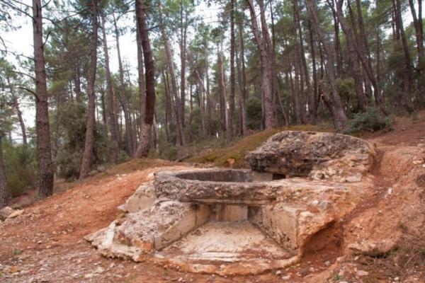
Photo: Frente de Somosierra: Ruta del Agua
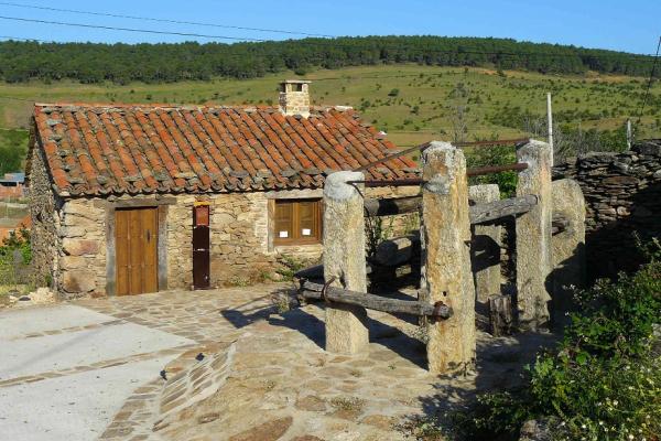
Photo: Frente de Somosierra: Ruta del Agua
Points of interest
On this route you will find 18 points of interest
You can download the route in GPX or KMZ file format for viewing in your preferred route application.
Nearby routes


0 / 0


